The 1911 Census on the Corbett Estate
By 1911 Corbett had pretty much finished building the 27 streets of his Catford/Hither Green estate, and coincidentally in April that year there was a national census, when everyone was asked to give details about their lives: their name, age, sex, occupation, place of birth, marital status and so on.
The Archibald Corbett Society saw this as a great opportunity to get a snapshot of everybody on the Estate, and we have gathered the census data for pretty much all of the 14,000-odd people who had made it their home.
We’ve analysed the data and come up with some statistics about the early inhabitants – what proportion were married; what were the most popular names of the era; the most common occupations and so forth. We’ve created a ‘profile’ of each street so that they can be compared to each other: for instance there were big differences in terms of which social class was dominant (Brownhill Road had wealthy residents living in six-bed houses for example, whereas Sandhurst Road had much smaller houses and was solidly working class). Please note that none of us are data professionals – we’re all just local people with an interest in history.
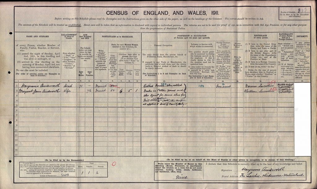
A standard form for the 1911 Census
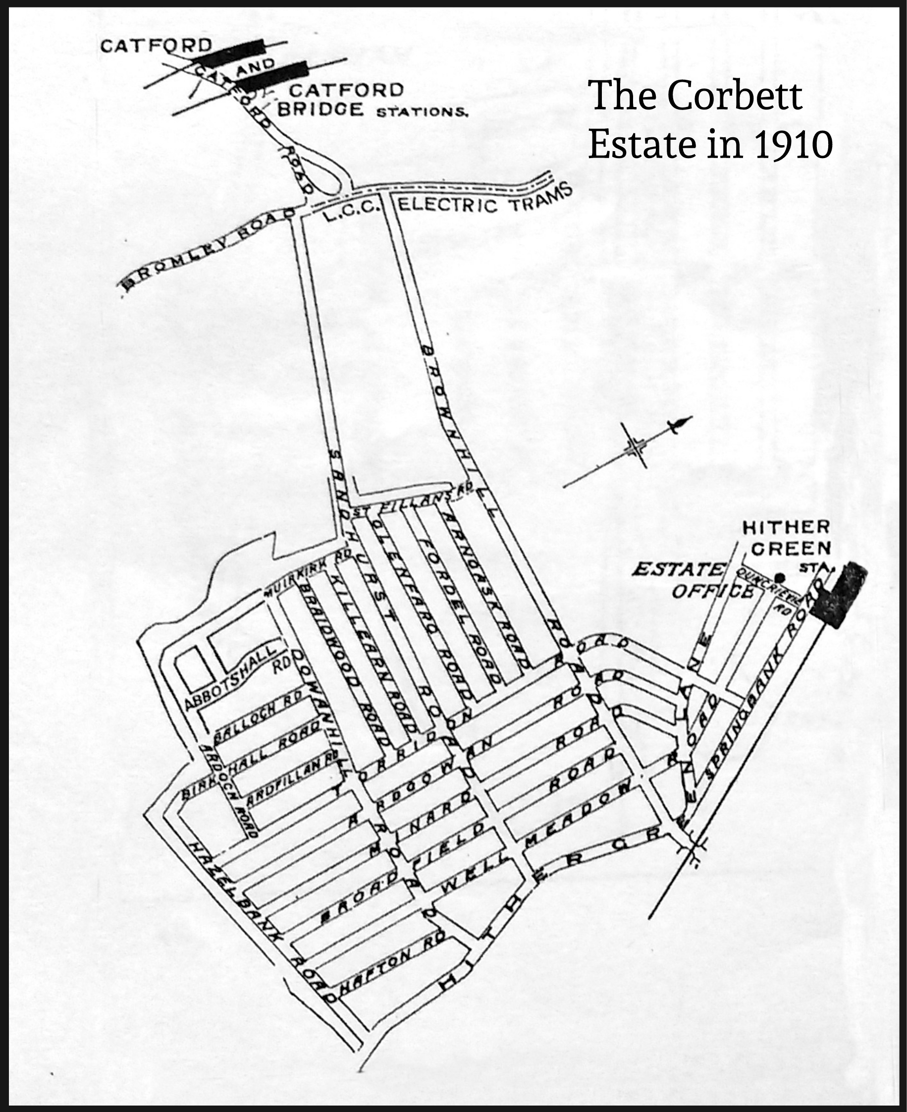
A clickable map
The map below comes from the Estate sales brochure of 1910. Please click on a street to find out more about the people who lived there when the census was taken. Click on ‘The Corbett Estate’ at the top for an overview.